Table of Contents
Land surveying may be defined as the technique or science of determining the relative terrestrial position of points or the three-dimensional position of points and the angles and distances between them.
In other words, land surveying may be defined as the process of locating and measuring both natural as well as man-made features with the application of various principles of mathematics, geometry, and other sciences.

It involves the detailed investigation of the site with the motive of preparing land maps, demarcating boundaries, and locating other features.
1. Applicability of Land Surveying
The main uses of land surveying can be listed as follows:
1. Determination of the position of various features on the surface of the earth.
2. Determination of precise location all over the globe.
3. Preparation of topographic maps with a high degree of accuracy.
4. Demarcation of the boundary lines for ownership purposes, international boundaries, etc.
5. Determination of easements, encroachments, development of land, etc.
2. Instruments Used in Land Surveying
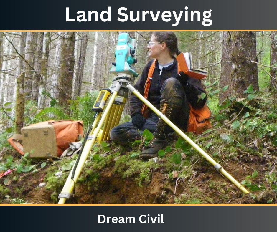
The main instruments used in land surveying can be listed as follows:
1. Theodolite ( Digital theodolite or Vernier theodolite)
2. Auto level
3. Total Station
4. Survey Compass
5. Tripod
6. Measuring tapes
7. Plumb bob, arrows, staff, ranging rods, and miscellaneous.
3. Procedure of Land Surveying
The procedure for land surveying is commonly site-specific i.e. the procedure adopted may vary depending upon the existing conditions at the site.
However, the following series of steps is adopted in most of the cases:
1. The first step involves the collection of available data regarding the location to be surveyed through various sources such as wills, deeds, contracts, maps, etc. It helps to get an idea about the boundary of the land to be surveyed.
2. After collecting the information, a physical examination of the field is carried out to determine the actual physical evidence of the boundary at the site. A monument is set at the site. A monument refers to any identifiable object that occupies a permanent location in the field.
3. The preliminary investigation of the field is carried out i.e. reconnaissance.
4. Appropriate instruments and methods are then used to locate the position of various points. Traversing and detailing are generally carried out.
4. Types of Land Surveying
Land surveying can be classified into the following types:
i. Boundary Survey
As the name itself implies, it is carried out to determine the corner points and the boundary line of the land to be surveyed.
The main purpose of a boundary survey is for the demarcation of the plot boundary mainly for legal purposes, isolation of forest and conservation areas, and so on.
This type of survey includes both field and office work.
The measurement is carried out in the field then the computations necessary for locating the boundary line are calculated by the applicable law at the office.
ii. Location Survey
A location survey is carried out similarly to the boundary survey. But, in addition, the interior details are also determined in the location survey.
A location survey is mostly carried out for local zoning requirement fulfillment and loan application procedure.
iii. Site Planning Survey
Site planning survey is the type of land surveying that is intermediate between the boundary survey and topographic survey.
The main purpose of the site planning survey is for the planned development of land.
This survey is carried out before the commencement of construction works and is extensively used for planning design improvements and development.
The main areas of application of site planning survey are planning and designing of house lots, subdivisions, stores, playgrounds, commercial and industrial sites as well as streets and highways.
iv. Subdivision Survey
A subdivision survey is carried out to divide a piece of land into smaller pieces of land, estates, tracts, or lots.
Subdivision survey is extensively carried out for designing streets and drainage following the local and state government agency.
A subdivision survey is commonly referred to as a partition survey.
v. Construction Survey
A construction survey is a type of land survey that involves the process of staking out of structures located on the property.
Such properties may include buildings, roads, and other utilities.
Construction surveys can provide directions to the associated personnel for implementing the improvements as given in the development plans.
vi. Topographical Survey
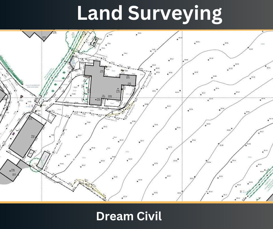
A topographical survey is a type of land survey that involves the determination of natural and artificial features of the locality utilizing conventional signs on a topographical map.
Topographical surveys are generally three-dimensional.
The primary objective is the preparation of topographic maps.
Such surveying combines the techniques of plane surveying as well as other special techniques to establish both horizontal and vertical control.
Generally, the fieldwork of the topographical survey includes the following three parts:
a. It establishes both horizontal and vertical control.
b. It locates the contours.
c. It also locates the details such as rivers, streams, lakes, roads, houses, trees, etc.

fig: Topographic Map
5. References1. Content Filter & Authenticity Checking Team, Dream Civil International (Our team checks every content & detail to maintain quality.) |
Read Also: Plane Table Surveying

