Table of Contents
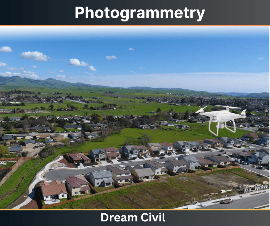
Photogrammetry is defined as the art, science, and technology of obtaining reliable information about physical objects and the environment through the process of recording, measuring, and interpreting photographic images and patterns of recorded radiant electromagnetic energy phenomena.

1. Types of Photographs
Mainly there are two types of photographs they are:
a. Terrestrial Photograph
It is the branch of photogrammetry in which photographs are taken from a fixed position on or near the ground and the photograph thus taken is known as terrestrial photogrammetry.

b. Aerial Photograph
The branch of photogrammetry in which photographs are taken from a camera mounted in aircraft flying over the area and the photograph thus taken is known as aerial photogrammetry.

There are 2 types of photographs in Aerial Photogrammetry.
a. Vertical Photograph
These are photographs that are taken from the air with the axis of the camera vertically.
b. Oblique Photograph
These are photographs that are taken from the air with the axis of the camera tilted vertically.
2. Application
It has been used in several areas.
1. Geology
Structural geology, investigation of water resources and analysis of thermal patterns on the earth’s surface, geomorphological studies including investigation of shore features, earthquakes, flood, and eruption.
2. Forestry
Timber inventories, cover maps, acreage studies.
3. Agriculture
Soil type, soil conservation, crop planting, crop diseases, crop-acreage.
4. Design and construction
Data is needed for site and route, especially for alternate schemes for photogrammetry.
5. Planning of cities and highways
New highway locations, detailed design of construction contracts, planning of civic improvements.
6. Cadastral
Cadastral problems such as determination of landlines for assessment of taxes. Large-scale cadastral maps are prepared for the reapportionment of land.
7. Environmental studies
Land-use studies
8. Exploration
To identify and zero down to areas for various exploratory jobs such as oil or exploration.
9. Military intelligence
Reconnaissance for the deployment of forces, planning maneuvers, assessing effects of the operation, and initiating problems related to topography, and terrain condition of works.
10. Miscellaneous
Crime detection, traffic studies, oceanography, meteorological observation, architectural and archaeological surveys, and contouring beef cattle for animal husbandry.
3. Advantages of Photogrammetry
Some advantages of photogrammetry over conventional surveying and mapping methods are as follows:
a. It provides a permanent photographic record of conditions of features on the field.
b. It provides a broad view of the project area, identifying topographic and cultural features.
c. ft can be used in locations that are difficult, unsafe, or impossible to access
d. Photogrammetry is an ideal surveying method for toxic areas.
e. Road surveys can be done without disturbing traffic or endangering the field crew.
4. Disadvantages of Photogrammetry
a. Weather conditions (winds, clouds, haze, etc.) affect the aerial photography process and the quality of the images.
b. Seasonal conditions affect the aerial photographs.
c. Hidden grounds caused by man-made objects, such as an overpass and a roof, cannot be mapped with photogrammetry.
d. The accuracy of the mapping depends on flight height and the accuracy of the field survey.
5. References1. Content Filter & Authenticity Checking Team, Dream Civil International (Our team checks every content & detail to maintain quality.) |
| Read More: Reconnaissance Survey |

